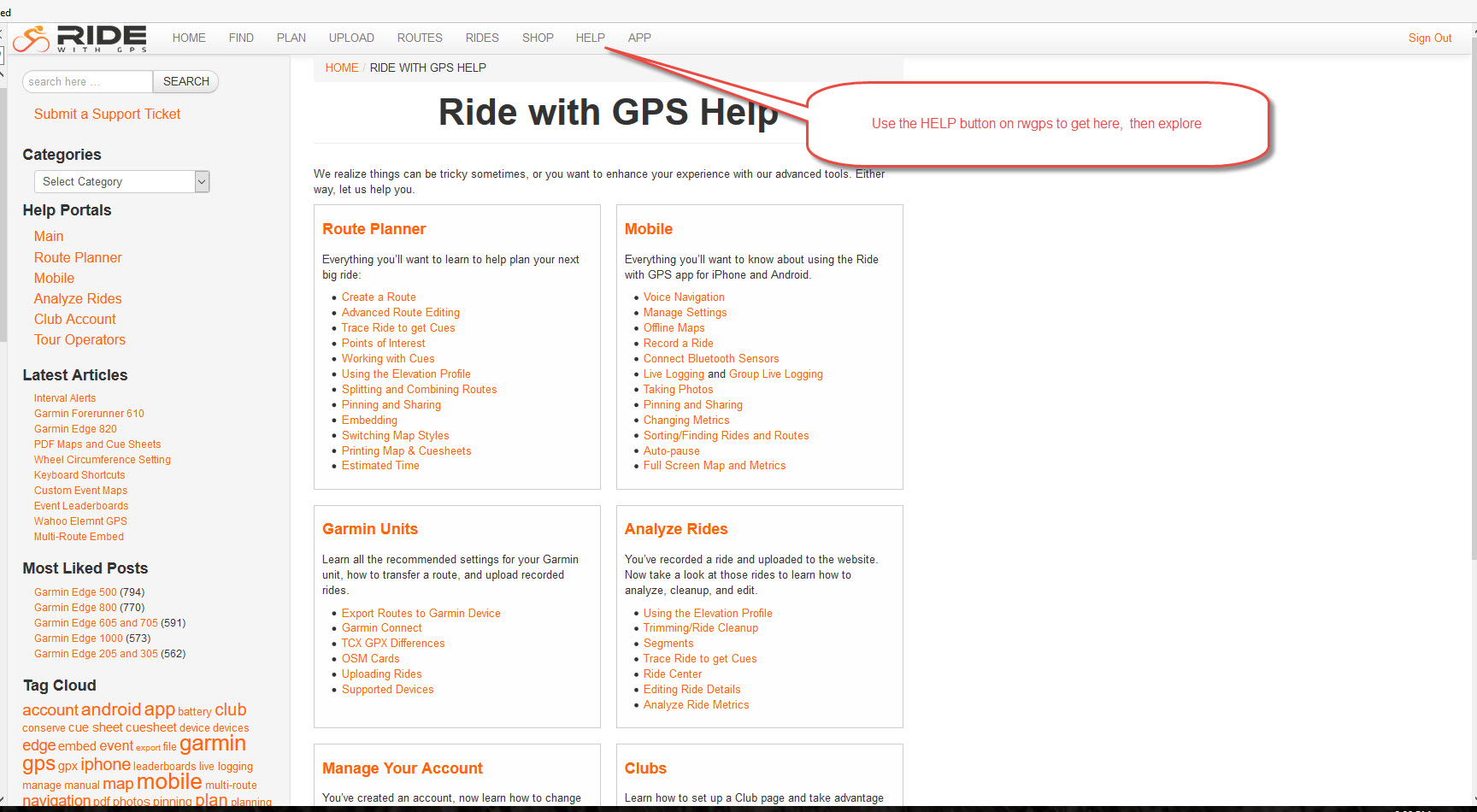
Rwgps is a full featured web site has many capabilities beyond route creation and management. We will look at a few here. But before we do, please note that rwgps has a very nice help system of its own. Just hit HELP from the top menu line of most screens and you will see the help options.
With that said, some of the capabilities you might be interested in include:
- store records of your rides and be able to analyze them
- create segments (KOM) points and compare results both for yourself and for other riders
- find rides and routes in your area or in areas that you are visiting
- download routes to a GPS device (Garmin or smartphone)
- get turn by turn instructions while you are riding (also, Garmin or smartphone)
To store your rides you will need to use the UPLOAD feature from the top menu line of the site. Or, if you are using one of the smartphone apps (Android or IOS), you can upload your ride as you are riding. If you have a supported Garmin device (I use an 800), you just set up Garmin connect -- then connect rwgps to the Garmin connect site. When you plug the Garmin into your computer's USB port after the ride, the ride will be automatically uploaded to the Garmin site, then a copy will be sent on to rwgps and stored in your ride log. (This incidentally serves as a good way to back up your data).
Here are a couple of views of my ride log:
First in the calendar view:
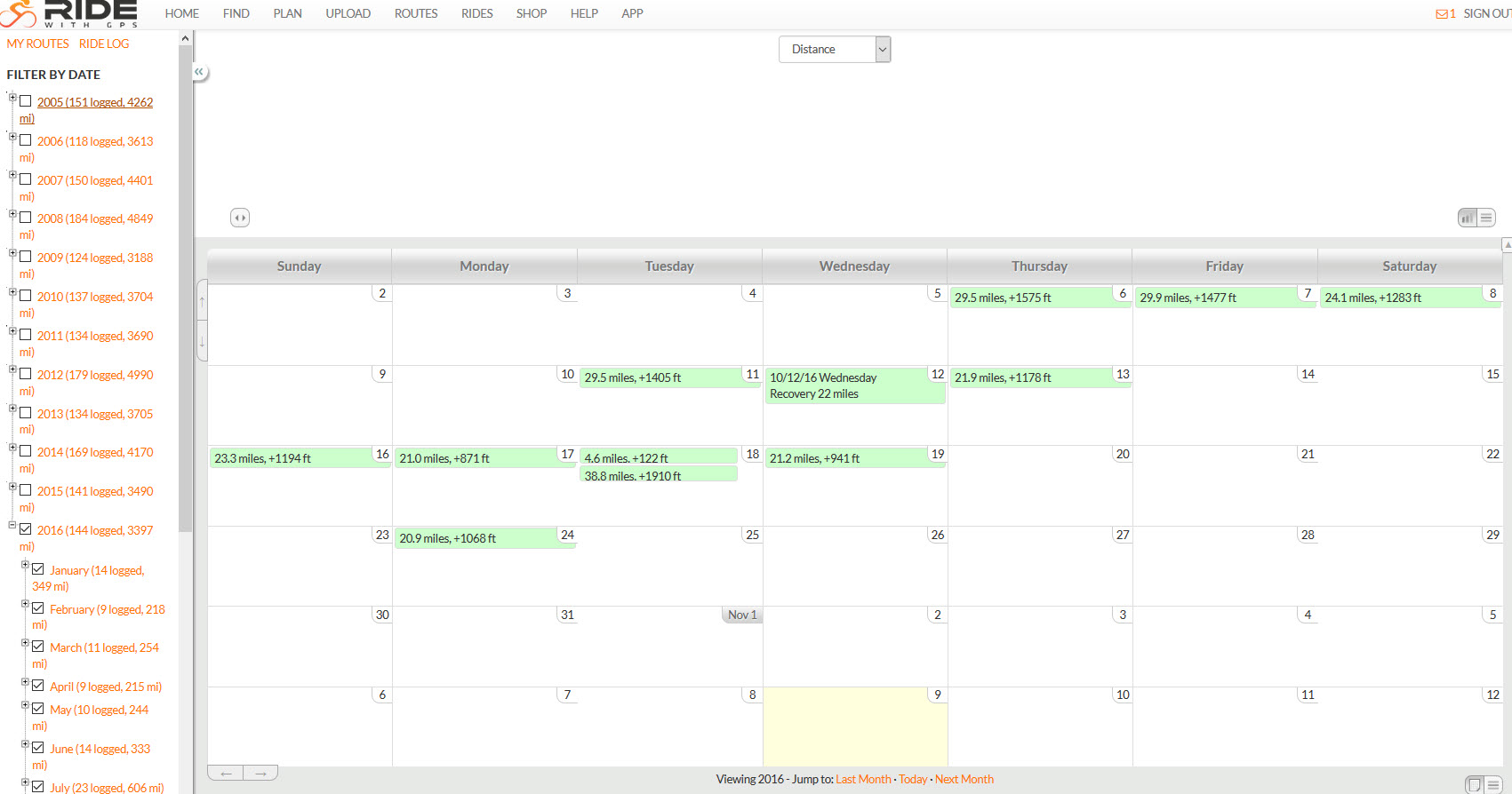
Note that the Filter section to the left can be used to restrict or expand the list of rides you are looking at and even for some crude totaling.
There is also a data table view and a ride log view. The first is shown below:
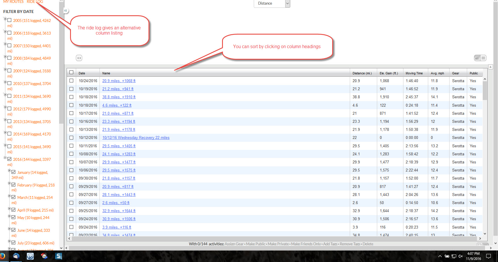
These features are rather primitive ... Garmin has many more customization features for analyzing and listing your ride. But for basic purposes, they will do.
Segments (aka KOM points) are another feature. While editing a route or reviewing a ride, you simply select the section you want to make into a segment from the altitude line at the bottom of the screen. Save it as a segment and all rides for all riders who traverse that segment will be shown ranked from fastest to slowest. A few suggestions:
- please don't create downhill segments tempting others to do something foolish
- avoid traffic lights and even stop signs where possible (same reason as above)
- if you are ending the segment at an intersection try to end it 10 to 20 feet back so a group has a place to gather
- try to find visible makers for the beginning and end of the route (light pole, fire hydrant, whatever)
- look around rwgps for pre-existing segments in your area and avoid duplication, overlap where possible
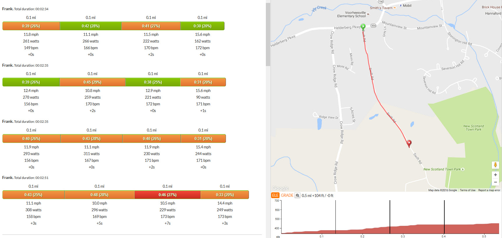
Personally I use segments for keeping tabs on my own performance. "Man is as lazy as he dares to be" applies to me too and segments help keep me honest. You can do quite a bit of analysis with them. Here is a short one:
You can also race the efforts against each other. This may be helpful on a longer segment (say a climb up Greylock) where on one effort or more you may have stopped. The race feature will show the little dot representing that effort stopped by the road and help explain differences.
The find rides or routes (FIND from the top menu line) can get a little funky. Funky, in the sense that it returns way too many results to be useful. Here, for instance, I have selected only rides with cue sheets that start within 5 miles of Delmar.
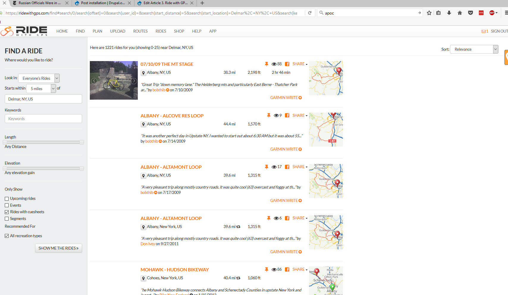
Even limiting the search like this, rwgps returns 1222 rides, way too many for me to scroll through. You can look in just your own rides and that helps a bit. Or look for keywords, say "Thacher" and that may help a bit. Worth noting: a "route" is essentially a map with a cue sheet. A ride is a recording of a ride that someone did. You generally will be more interested in routes (with cue sheets) than looking at rides.
The download feature lets you put a route on your cell phone. RWGPS has extensive help screens on this feature and your needs will vary depending on the type of device you need. Basically the files you can get are either a list of geographic coordinates (GPX) or a more extensive listing that can include cue sheet information and altitude and performance data (TCX). It is just a specially formatted text file: to demystify a bit, here's a sample:
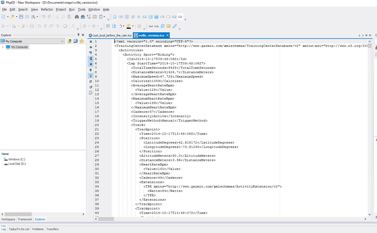
This is what's going on behind the scenes between the rwgps web site and your device(s) and it explains why data can be exchanged between them.
To get turn by turn instructions shown on your device you need to download the appropriate file using the instructions for the specific device. For instance, get a TCX file for a Garmin 800 or similar device. I personally don't use this feature very much. Worth noting, if you want cue sheet entries shown, you need to download a route, not a ride.